

Activity Summer
Multi-day trekking in the Dolomites
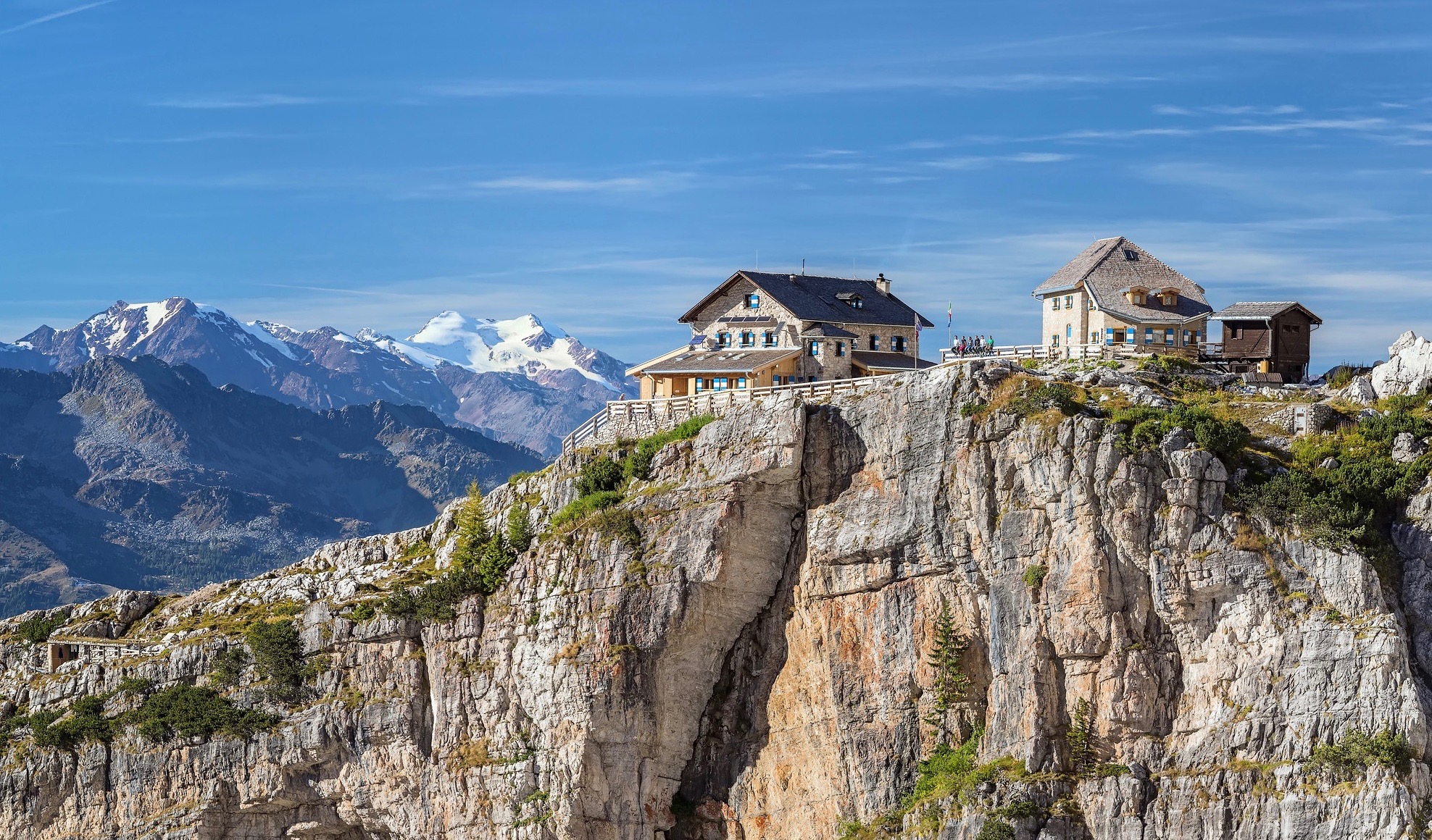
THREE DAYS IN THE BRENTA DOLOMITES
from Madonna di Campiglio to Andalo, from one side to the other with magnificent views of Lake Molveno
-
STAGE 1 VALLESINELLA REFUGE (1450m) – TUCKETT REFUGE (2272m)
Length: 5km
Height difference: 750m
The first stage takes us from the Vallesinella refuge (just outside Madonna di Campiglio) to the Casinei refuge, where we take the Fridolin path and begin to admire the panorama of the Brenta Dolomites that will accompany us over the next few days; our destination for the day is the Tuckett refuge.
- STAGE 2 TUCKETT REFUGE (2272m) – MALGA SPORA (1851m) Length: 10km Height difference: 400m
From the Tuckett refuge, we walk up and down to the Graffer refuge, where a short climb leads to the Grostè pass. From here we leave the Rendena Valley and begin our descent on the Andalo side of the Brenta Dolomites to Malga Spora
- STAGE 3 MALGA SPORA (1851m) – TOVEL LAKE Length: 14km Height difference: 700m
We find ourselves in one of the less-travelled areas of the Brenta and from Malga Spora we ascend to Sella Montoz. We then start to descend towards Lake Tovel through wild valleys, passing Campa and Malga huts. At Lake Tovel we will be picked up by Taxi Jeep, which will take us back to the Vallesinella car park.

Technical Info
Trekking duration: 3 days
Level: medium
RECOMMENDED EQUIPMENT: Hiking boots, rucksack with spare kit and K-Way – water and snacks.
Meeting point
Vallesinella car park
Parking Vallesinella, Ragoli, TN, Italy
h: 9.00
paid parking
Cost
200€ per person with a minimum of 4 participants
For people aged 18 and over
The price includes the cost of the guide
Excluded are refuge costs (91 for SAT members or 115 for non-members) and the jeep taxi service
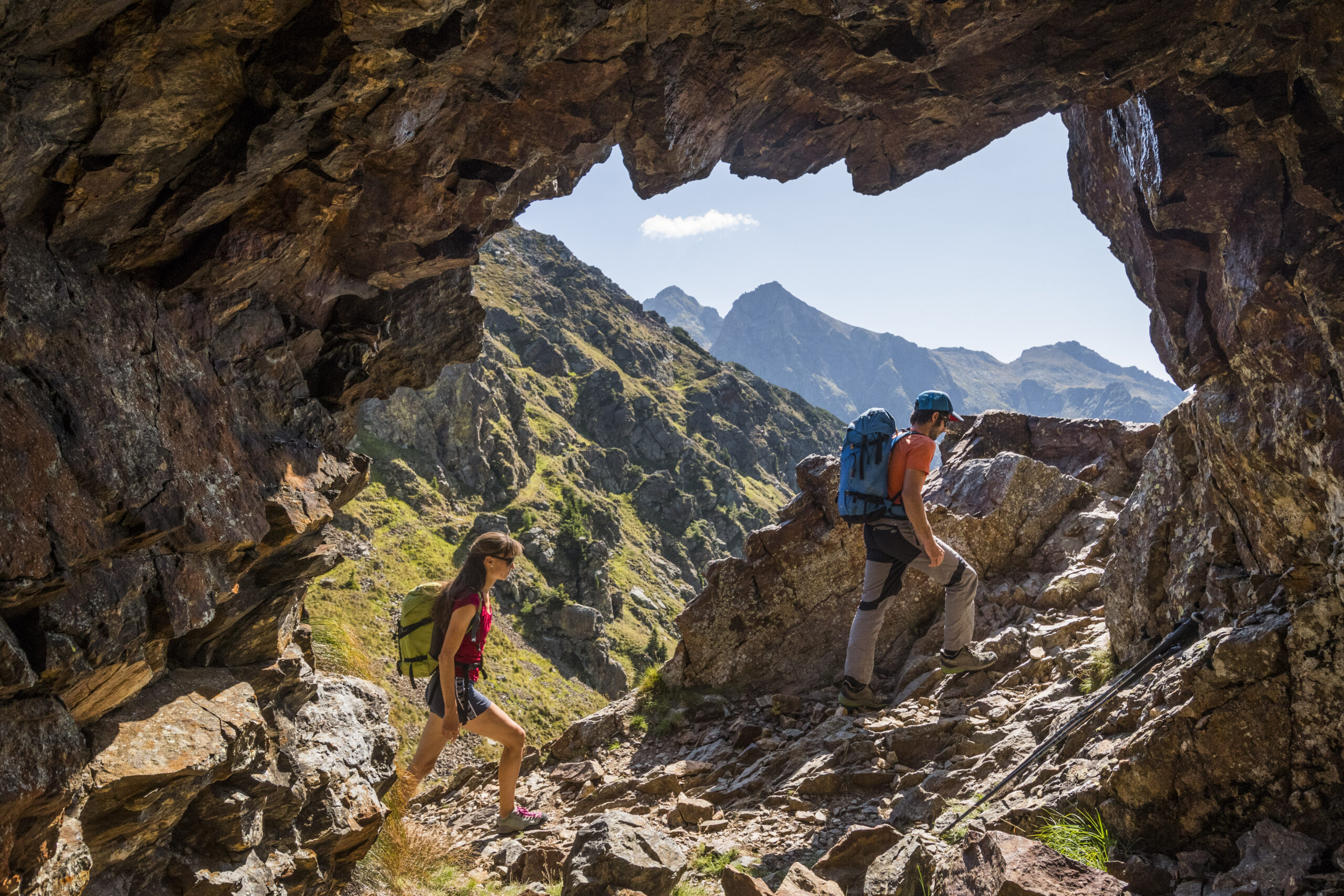
ALTA VIA DEL GRANITO
A 3-day circular trek in the cima d’Asta massif, a granite island in the heart of eastern Trentino
-
STAGE 1 MALGA SORGAZZA (1450m) – CALDANEVE REFUGE (1792m) Length: 8km
Height difference: 1100m d+ 800m d-
The first stage starts at Malga Sorgazza, from here we climb up to Forcella Quarazza and then to Forzelon di Rava (2398m). A short diversions allows us to climb to the Rava sumit, to admire the panorama from this privileged vantage point. Back down to the pass, we cross the head of the Rava valley and then arrive at the refuge.
-
STAGE 2 CALDANEVE REFUGE (1792m) – BRENTARI REFUGE (2473m) Length: 11km
Height difference: 1400m d+ 750m d-
From the hut, we walk along the lakes of the d’Inferno Valley and ascend towards the Buse Todesche pass (2309m), the trail continues at high altitude to the Magna pass. In this area we see the remains of a carriage road used during the war and a trench. The path now descends, and then ascends to the Socede pass (2516m). From the pass, we move over the granite boulders that characterise the area and soon arrive at the Brentari hut.
-
ROUTE 3 RIFUGIO BRENTARI (2473m) – CIMA D’ASTA (2847m) – MALGA SORGAZZA(1450m) Length: 8km
Height difference: 400m d+ 1400m d-
From the refuge, the ascent to Cima d’Asta is a must; a few hundred metres of difference in altitude separate us from the summit, where the view ranges from the Pale di San Martino to the Lagorai and the majestic Marmolada. Back to the hut, all we have to do is return to the hut where we started two days earlier. The descent is along granite slabs that allow us to admire the geological peculiarities of this massif one last time


Technical Info
Trekking duration: 3 days
Total length: 27km
Total height difference: 2900m
Maximum altitude: Cima d’Asta 2847m
RECOMMENDED EQUIPMENT: Hiking boots, rucksack with spare kit and K-Way – water and snacks.
Meeting point
Cost
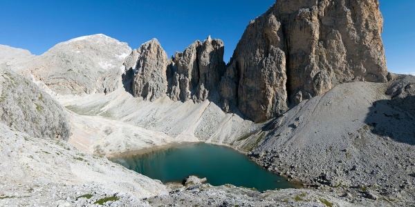
MONTI PALLIDI TREKKING
3 days between the Sciliar Plateau and the Catinaccio, to admire the peaks tinged with pink.
-
STAGE 1 TIRES, LAVINA BIANCA (1200m) – BOLZANO REFUGE (2457m) Length: 6km
Height difference: 1300m d+
The first day of our trek already reveals part of the beauty of these trails, we climb up between bridges and gorges until we reach the characteristic Bolzano refuge, which stands castle-like in the presence of the Dolomites.
-
STAGE 2 BOLZANO REFUGE (2475m) – PASSO PRINCIPE REFUGE (2600m) Length: 12km
Height difference: 700m d+ 800m d-
The second stage is full of ups and downs and crosses the entire Sciliar plateau, passing by the characteristic Alpe di Tires mountain hut, then changing scenery, arriving between the peaks of the Catinaccio until we reach our destination, the Passo Principe mountain hut, which rises up on the rock. For those who still want to explore, we can climb to Lake Antermoia in about 1h.
-
STAGE 3 PASSO PRINCIPE REFUGE (2600m) – TIRES, LAVINA BIANCA (1200m) Length: 9km
Height difference: 200m d+ 1600 d-
The last stage of our trek takes us back to our starting point. The descent is rather long, but the landscape is very varied. Initially, we descend down a gully to the Principe basin to reach the Bergamo hut, located on a grassy terrace. From here, we descend along the Tschamin Valley back to Lavina Bianca.

Technical Info
Trekking duration: 3 days (2 nights)
Total length: 29km
Total height difference: 2200m d+
Maximum altitude: Rifugio Passo Principe 2600m
RECOMMENDED EQUIPMENT: Hiking boots, rucksack with spare kit and K-Way – water and snacks.
Meeting point
Cost
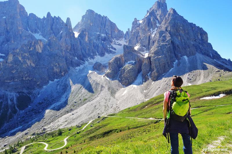
PALE DI SAN MARTINO TREKKING
3 days in the great Pale plateau, a unique landscape
-
STAGE 1 – TREVISO REFUGE
Length: 4.5 km Height difference: 516m d+ 50m d-
On the first day, the easy ascent to the Treviso refuge via the Troi dei Tedeschi awaits us, a couple of hours to warm up our legs for the following days and begin to fill our eyes with the splendid landscapes of the Pale di San Martino.
-
STAGE 2 – PRADIDALI REFUGE
Length: 9km Height difference: 1200m d+ 600 d-
Long climb in the presence of Sass d’Ortiga, until we reach Passo Canali, where we enter the grandiose Altopiano delle Pale, a unique landscape. Another gentle climb awaits us to reach the Fradusta pass, below the peak of the same name, and then we begin to descend to the Pradidali refuge.
-
STAGE 3 – RETURN TO THE CANT DEL GAL
Length: 5.5km Height difference: 1100m d-
The last day involves a long descent to return to Cant del Gal, where we left two days earlier; there is, however, the possibility of a small ‘extra programmed’ climb to reach the Ball pass, from where we can admire the other side of the Pale di San Martino.

Technical Info
Trekking duration: 3 days
Difficulty: medium
RECOMMENDED EQUIPMENT: Hiking boots, rucksack with spare kit and K-Way – water and snacks.
Meeting point
Cost
Coming soon
Sign up for our newsletter to stay updated on our activities and to receive exclusive offers.
